Skip to content
Atacama Deserts
Machuca, Atacama Desert, Chile
VillageEasy

Machuca

Independently researched — no operator sponsorshipsEntry fees, opening rules and transfer times checked against official sources (list below).

Distance

48 km

Drive time

45 min

Altitude

3,110 m

Entry fee

Free

Best time

Late morning (09:30-11:30) on the return from El Tatio

Time needed

30-45 minutes

What it is

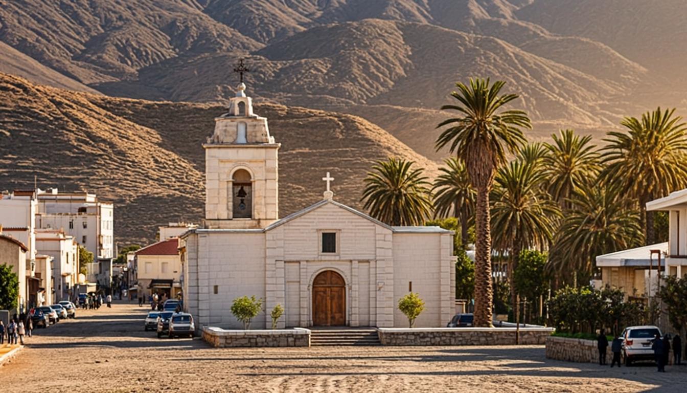
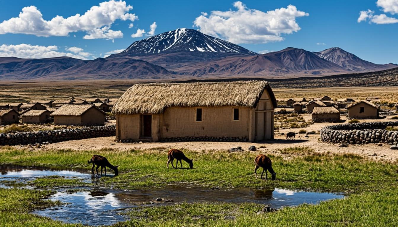
Machuca was nearly a ghost town when its church was rebuilt in the late 1990s and families returned to raise llamas and feed travelers. Today around twenty residents run the food stalls and craft tables around the plaza, where smoke from anticucho grills — grilled skewers, often llama — hangs over adobe walls and straw roofs at 3,110 m. It is the cultural half of every geyser morning, and half its visitors arrive by accident.

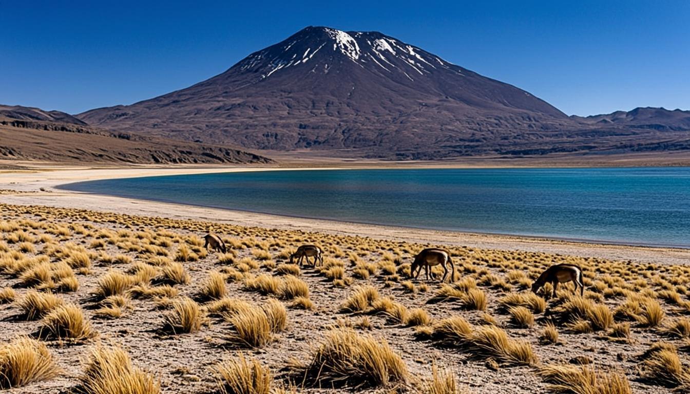
Beyond lunch, the village is a lesson in altiplano adaptation: the wetland, or vega, just below town hosts Andean flamingos and grazing llamas against a volcano backdrop, and the stone-and-adobe church — rebuilt with traditional techniques — anchors the plaza. If you are driving to the geysers yourself, plan Machuca for the return, warm and hungry. It also works as a stand-alone drive on acclimatization days.

Why go

  • The best cheap meal in the high desert: wood-grilled anticuchos and baked empanadas.

  • A working example of community tourism that actually revived a village.

  • Flamingos and llamas sharing one vega frame beneath 5,000-m volcanoes.

  • Zero fees and 45 minutes from town — the easiest 3,000-m altitude test before bigger climbs.

Visiting Machuca

How to get there

Machuca sits on Ruta 23, the paved altiplano route that also serves the El Tatio turnoff: 48 km and about 45 minutes from San Pedro. Any rental car handles it, and geyser sunrise tours stop here 09:30-11:00 on the descent. As a standalone trip, combine the village with the Termas de Puritama turnoff and a slow return through the vicuña zones.

When to go & what to expect

Late morning is the live window: grills fired, stalls open, tour vans cycling through. Outside 09:00-13:00 the village can be shuttered — it is tiny, and vendors keep market hours. Expect cold even in sunshine at this altitude, an open plaza with basic toilets (tips expected), and the vega a short walk down: binoculars for the flamingos, respect for the wetland fence.

Rules & practical tips

Buy from the stalls directly and carry small bills — this economy runs on coins and crumpled notes. Ask before photographing residents, keep drones grounded near the church, and do not feed or approach the llamas. If you are self-driving beyond Machuca toward the geysers, check seasonal road realities — summer afternoon storms close the upper gravel sections.

Arrive hungry around 10:00, order the anticucho, walk down to the vega — that is the complete Machuca experience in 45 minutes.

Common mistakes (and how to avoid them)

Machuca is a 30-minute stop that still generates complaints — almost all from travelers who ignored the village's two hard constraints: market hours and cash.

  • Rolling in at 15:00 expecting lunch: stalls fire around 09:00 and close with the tour traffic near 13:00. Outside that window you will photograph empty grills and closed tables.

  • Carrying only large notes: this economy runs on coins and crumpled thousands. Cards are useless for a skewer, and vendors often cannot break a CLP 20,000 bill.

  • Feeding or cornering the llamas for a photo: they are working animals, not props — and drones stay grounded near the church and the vega fence.

  • Pushing on to the geysers after lunch without checking the sky: summer storm cells close the upper gravel by afternoon, which is exactly why every tour runs the geyser road at dawn.

Machuca keeps market hours: arrive between 09:00 and 13:00 with small bills, or you will meet a closed village.

Machuca on the map — and the services around it

The orange pin marks Machuca (48 km from San Pedro, about 45 min by van). Every other marker is a real service — and every marker has its own page: tap a place to open it, or add it straight to My Atacama Map. Useful if you are self-guiding or planning a stop on the way back to town.

  • Landmarks & ruins
  • Health & pharmacy
  • Carabineros (police)
  • ATMs & exchange
  • Fuel station
  • Transport
  • Tourist info & CONAF

Positions are approximate and meant for orientation — follow the official park signs on site.

Services, food & stays nearby — open a place, add it to your map

The 10 closest places to Machuca, sorted by distance: tap a name to open its own page, or pin it straight to My Atacama Map without leaving this one.

  • Cañon de Guatín

    Landmarks & ruins · Garganta del Río Grande, al este de San Pedro

    22.3 km from Machuca

    A narrow canyon in the gorge that cuts east from town, with rock walls and a seasonal waterfall at the end of a short walk. It is not on the paved tourist loop: go with someone who knows the access. Google Maps rates it 4.8 from 624 reviews.

    Details →
  • Copec — the only fuel station in San Pedro

    Fuel station · Ruta 23 / salida norte hacia Calama

    41.3 km from Machuca

    The one and only fuel station in town. Fill up before any self-drive day (Tatio, Tara, Uyuni border). There is no fuel on the geyser route or past Socaire — a full tank is the difference between a detour and a tow.

    Details →
  • Posta de Salud Rural San Pedro de Atacama

    Health & pharmacy · Calle Gustavo Le Paige, a 2 cuadras de la plaza

    41.4 km from Machuca

    Primary care and 24/7 emergency stabilization. Serious cases are stabilized here and transferred to Calama by ambulance (131). Bring your passport and travel insurance details.

    Details →
  • Farmacia Vizcacha

    Health & pharmacy · Vilama 425, esquina de la plaza

    41.5 km from Machuca

    The pharmacy on the corner by the square: painkillers, rehydration salts, sunscreen, motion-sickness pills, and the coca tea and sorojchi pills sold locally. Google Maps rates it 4.3 from 23 reviews. Stock is small and hours irregular — bring prescription meds from home.

    Details →
  • Farmacias Cruz Verde

    Health & pharmacy · Esquina Caracoles / Toconao 359

    41.5 km from Machuca

    The chain pharmacy, a block from the square: the safer bet for anything the local pharmacy does not stock. Google Maps rates it 3.5 from 129 reviews — the rating is low, the range is not.

    Details →
  • BancoEstado ATM (Caracoles)

    ATMs & exchange · Calle Caracoles, frente a la plaza

    41.5 km from Machuca

    The main bank ATM cluster — and the one most likely to run dry on weekends and holidays. Withdraw CLP in the morning; card fees apply per withdrawal, not a %.

    Details →
  • Oficina de Información Turística (Municipal)

    Tourist info & CONAF · Calle Toqui, a un costado de la plaza

    41.5 km from Machuca

    Free official maps, current road status (which attractions are closed after rain), and licensed-guide lists. The best source for "is the Tara road open today?" before you book.

    Details →
  • CONAF — Reserva Nacional Los Flamencos

    Tourist info & CONAF · Centro, cerca de la plaza

    41.5 km from Machuca

    Park service office for the national reserve (Valle de la Luna, Chaxa, Tara, Miscanti). Confirms entry fees, trail openings and conservation rules — useful if you are self-guiding.

    Details →
  • Casa de cambio (centro)

    ATMs & exchange · Calle Caracoles / Toqui, centro

    41.6 km from Machuca

    Cash exchange for USD/EUR/BRL to CLP. Rates are noticeably worse than city banks — change only what you need for entry fees and markets; cards work almost everywhere in town.

    Details →
  • Comisaría San Pedro de Atacama (Carabineros)

    Carabineros (police) · Calle Toqui, a 3 cuadras de la plaza

    41.7 km from Machuca

    Police station for incidents, theft reports (needed for insurance) and lost property. Officers speak little English — a hotel staffer can help translate. Emergency line: 133.

    Details →

Distances are straight-line — real driving distance can be longer.

Frequently asked questions

Sources & verification

The official references we used while researching Machuca: park rules, fees, safety and transport. Everything on this page is written independently — no operator pays for coverage here.

External links open in a new tab and lead to official Spanish-language pages. Fees and access rules can change seasonally — confirm on site or by phone before you travel.
Machuca: operator details

The operator's slot on this page: Fundación SPA.

fundacionspa.cl

See booking options

Independent editorial. We may earn a commission when you book through a link on this page — it never changes what we recommend.

Verified operators

Tours to Machuca

Entry fees are charged separately at the gate and are usually not included in tour prices.

El Tatio Geyser Field, Atacama Desert, Chile

El Tatio Geyser Field

88 km · 1 h 40 min · 4,320 m

Termas de Puritama (Puritama Hot Springs), Atacama Desert, Chile

Termas de Puritama (Puritama Hot Springs)

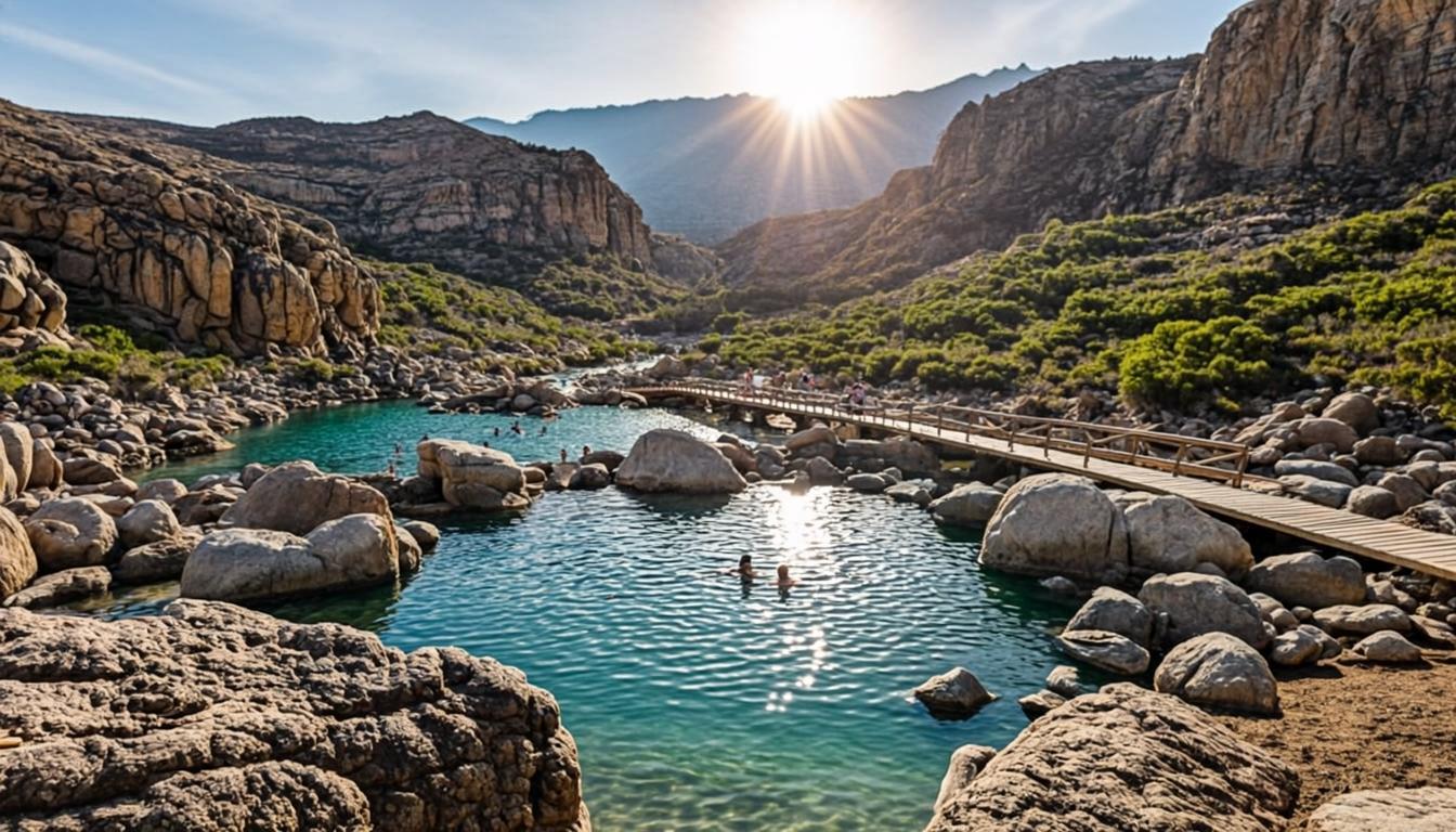
31 km · 40 min · 3,475 m

Lagunas Altiplánicas (Miscanti & Miñiques), Atacama Desert, Chile

Lagunas Altiplánicas (Miscanti & Miñiques)

105 km · 1 h 45 min · 4,140 m

El Tatio Geysers: The Complete Guide from San Pedro — guide cover, Atacama Desert10 min read

El Tatio Geysers: The Complete Guide from San Pedro

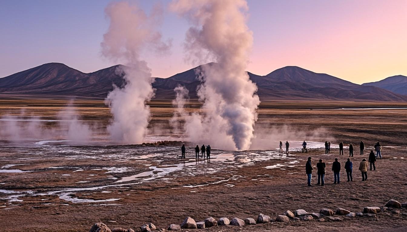
El Tatio hour by hour: the 4:30am start, the −10°C dawn, the rules, and Machuca on the way home.

Altitude Sickness in San Pedro de Atacama: Prevention and Protocol — guide cover, Atacama Desert10 min read

Altitude Sickness in San Pedro de Atacama: Prevention and Protocol

How to acclimatize in 36–48 hours, which symptoms actually matter, and which tours to save for day three.

How to Get to San Pedro de Atacama: Flights, Buses, Transfers — guide cover, Atacama Desert9 min read

How to Get to San Pedro de Atacama: Flights, Buses, Transfers

Every route in: the 1h35 flight to Calama, shuttles and taxis for the last 100 km, and the 20-hour bus.