What it is
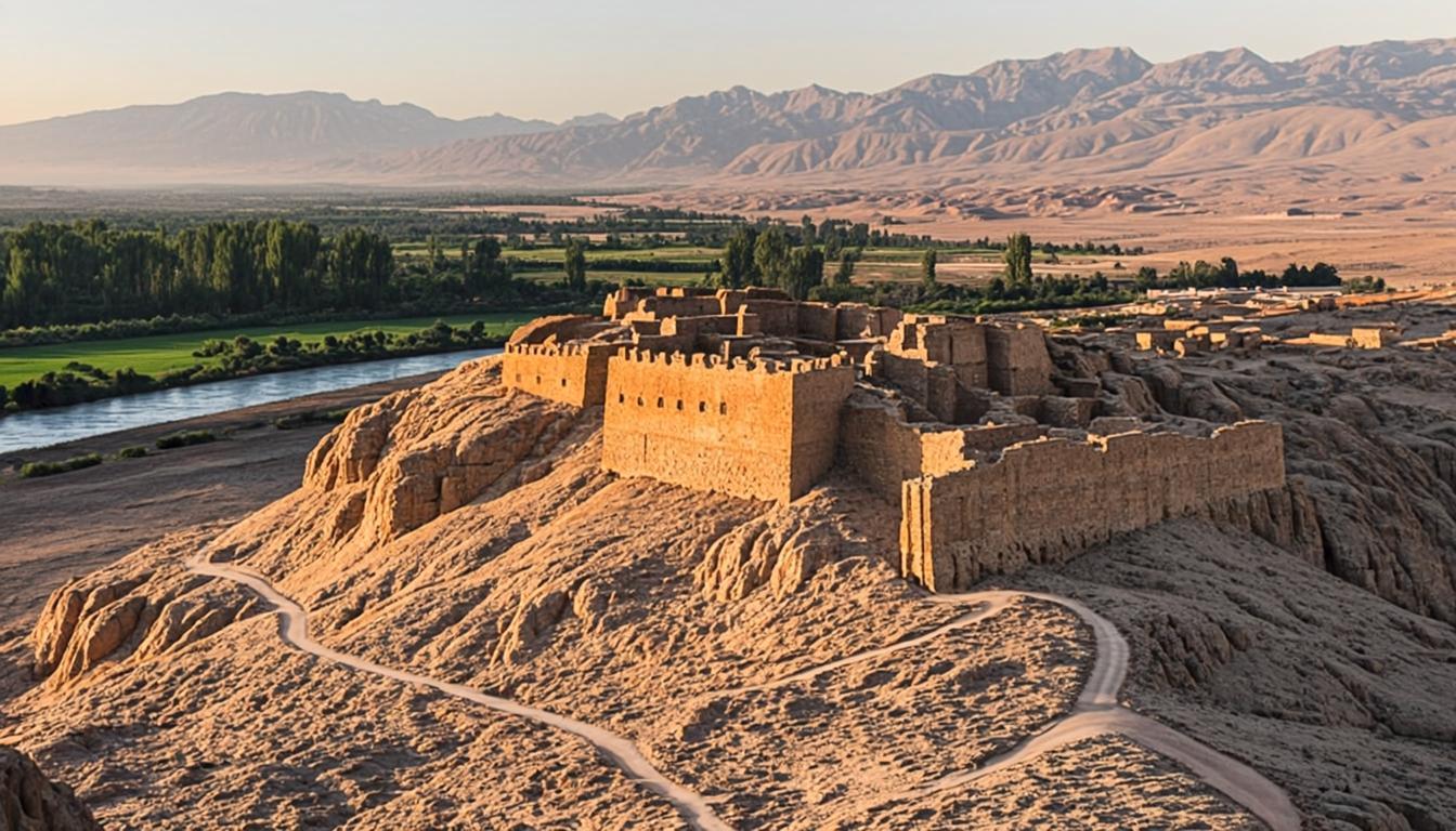
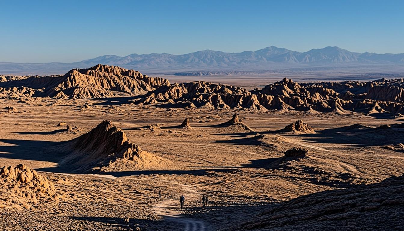
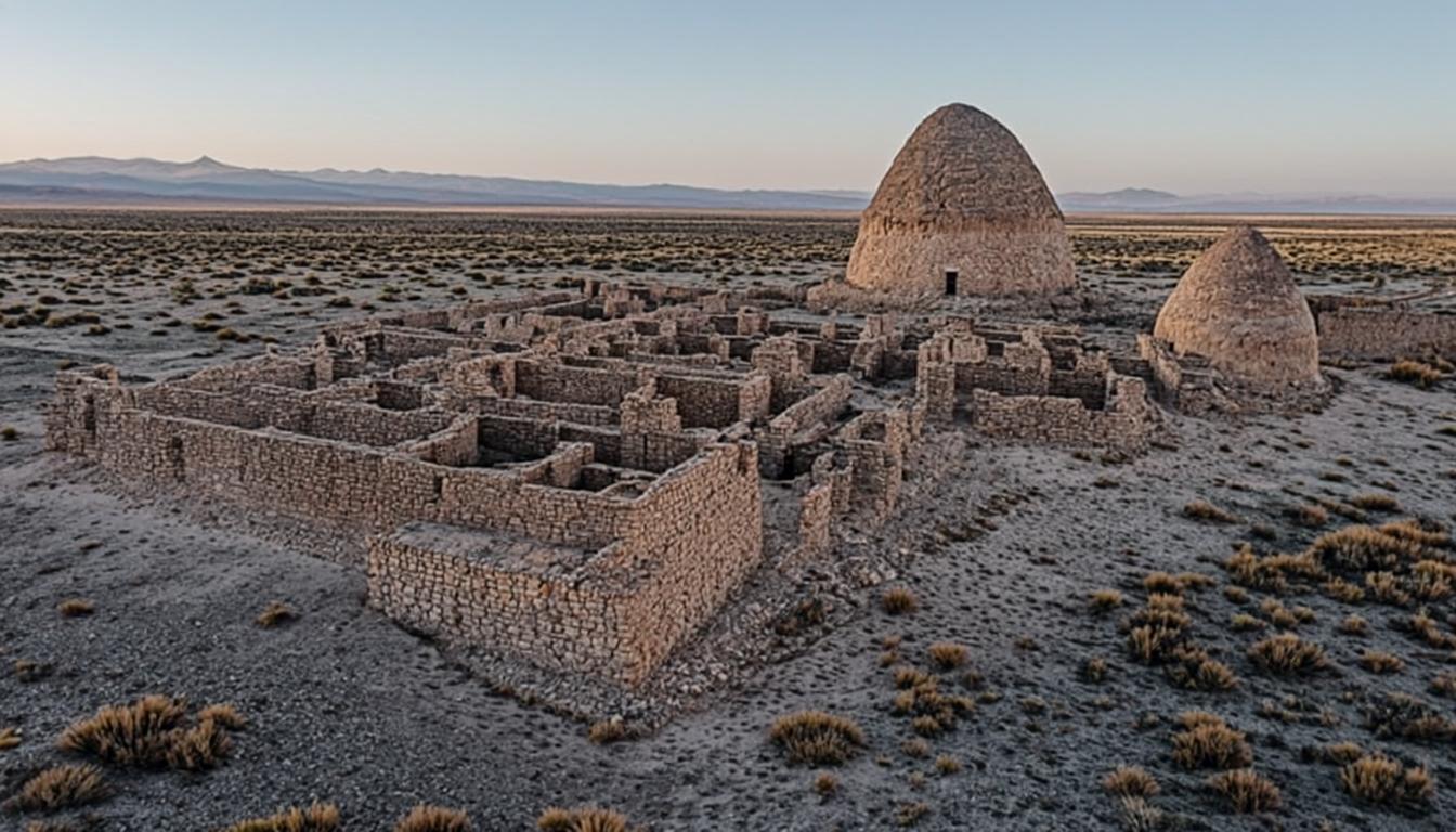
Tulor is the oldest known village settlement in the Atacama salt basin: a cluster of round, connected adobe-and-stone dwellings with shared patios, radiocarbon-dated to roughly 800 BC and occupied for over a millennium. Sand swallowed it centuries ago, which is exactly why it survived — excavation began only in the 1970s, and much of the site remains deliberately buried for preservation.
Visiting is structured: a small site museum first, then raised walkways over the excavated sector with a local guide explaining the architecture, the diet — corn, quinoa, llama — and the village's slow abandonment. It is compact, under an hour, so most afternoon itineraries chain it with Pukará de Quitor or a ruins-and-sand combo. The budget guide counts it among the day's cheaper entries.
Why go
Stand over 2,800 years of continuous human engineering in the driest desert on Earth.
Local Atacameño guides make the adobe walls readable — this site needs its guides.
Compact and cheap: under 90 minutes, easy to chain into any afternoon.
The museum context deepens everything else you will see, from Quitor to Toconao.
Visiting Aldea de Tulor
How to get there
Drive 10 km south on the Toconao road; the site is signed on the right, 15 minutes from town. Bikes handle it easily, and some riders loop Tulor, Quitor and the Coya ravine in one afternoon. Small-group archaeology tours combine Tulor and Quitor with hotel pickup for roughly the price of a rental car — a fair deal for solo travelers.
When to go & what to expect
The site is compact and partly covered, so timing is flexible; mornings are calm, late afternoons golden. Expect 45-60 minutes: museum, walkways, guide circuit. It is family-friendly and flat — the easiest archaeology in the region. Guides work on community rates included in the ticket; go with their rhythm rather than wandering ahead, since unaccompanied interpretation is thin.
Rules & practical tips
Stay on the walkways — the buried sectors are capped sand, and stepping off damages the stratigraphy. No drones; photography is fine without flash on the panels. Water and hats apply as anywhere here. If you are building a full culture day, Tulor plus Quitor plus Toconao village fills an afternoon without repeating itself — the trip planner sequences the drive times.
Tulor is a 90-minute stop that upgrades every other site you will visit — do it early in your trip, not as an afterthought on day five.
Common mistakes (and how to avoid them)
Tulor disappoints exactly one kind of visitor: the one expecting photogenic freestanding ruins. This is a buried village read through walkways and guides — and because it is compact, it is usually the first stop a tight schedule cuts and the first a five-day itinerary restores.
Expecting exposed stone architecture: most of Tulor stays deliberately buried under capping sand for preservation. You view circular compounds from raised walkways — the reward is context, not columns.
Blowing past the museum: without the site museum and the included community guide, the walls read as sand mounds. The guide circuit is part of your CLP 10,000 ticket — use it.
Going at high noon: shade is limited and midday light flattens the adobe textures. Morning or the last afternoon hours serve the site better.
Stepping off the walkways for a closer look: the buried sectors are capped stratigraphy, and one footprint damages what the sand has protected for millennia.
Tulor rewards context, not photographs: do the museum, take the guide, and walk the circuit with the 800 BC story in mind.
Aldea de Tulor on the map — and the services around it
The orange pin marks Aldea de Tulor (10 km from San Pedro, about 15 min by van). Every other marker is a real service — and every marker has its own page: tap a place to open it, or add it straight to My Atacama Map. Useful if you are self-guiding or planning a stop on the way back to town.
- Landmarks & ruins
- Health & pharmacy
- Carabineros (police)
- ATMs & exchange
- Fuel station
- Transport
- Tourist info & CONAF
- Markets & shops
- Food & cafés
Positions are approximate and meant for orientation — follow the official park signs on site.
Services, food & stays nearby — open a place, add it to your map
The 10 closest places to Aldea de Tulor, sorted by distance: tap a name to open its own page, or pin it straight to My Atacama Map without leaving this one.
Distances are straight-line — real driving distance can be longer.
Frequently asked questions
Sources & verification
The official references we used while researching Aldea de Tulor: park rules, fees, safety and transport. Everything on this page is written independently — no operator pays for coverage here.
- gob.cl — official government context for the Tulor archaeological site and its national-monument protection
- SERNATUR — official visitor information for Aldea de Tulor and the site museum
- chile.travel — official cultural destination profile for the Atacama
External links open in a new tab and lead to official Spanish-language pages. Fees and access rules can change seasonally — confirm on site or by phone before you travel.