What it is
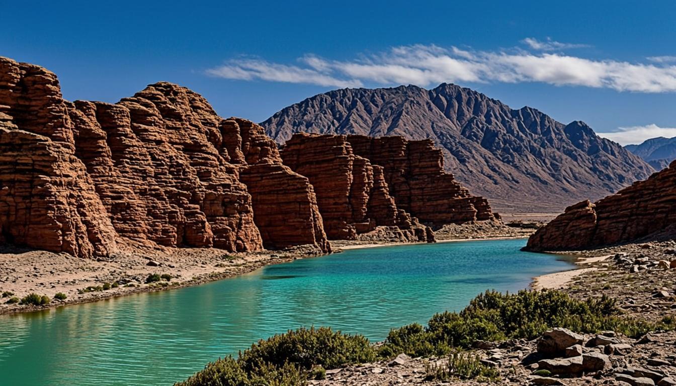
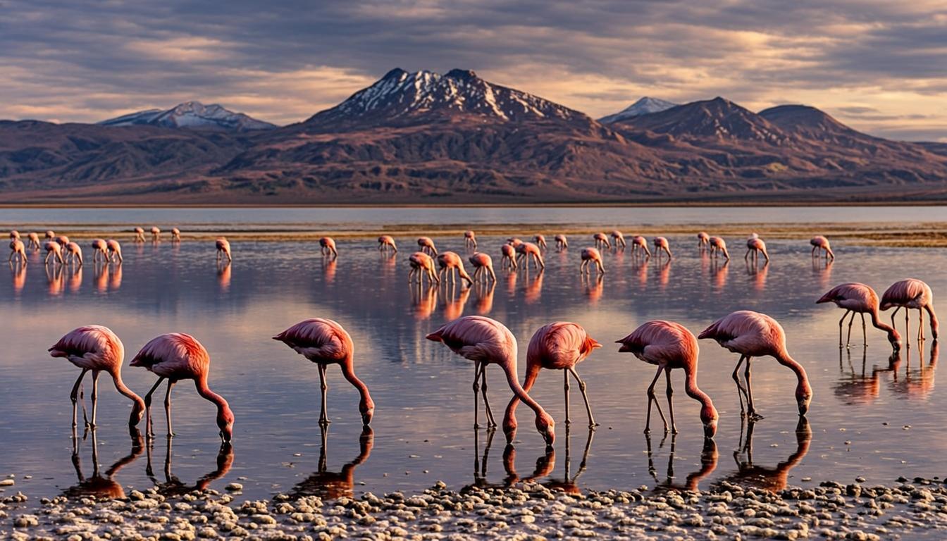
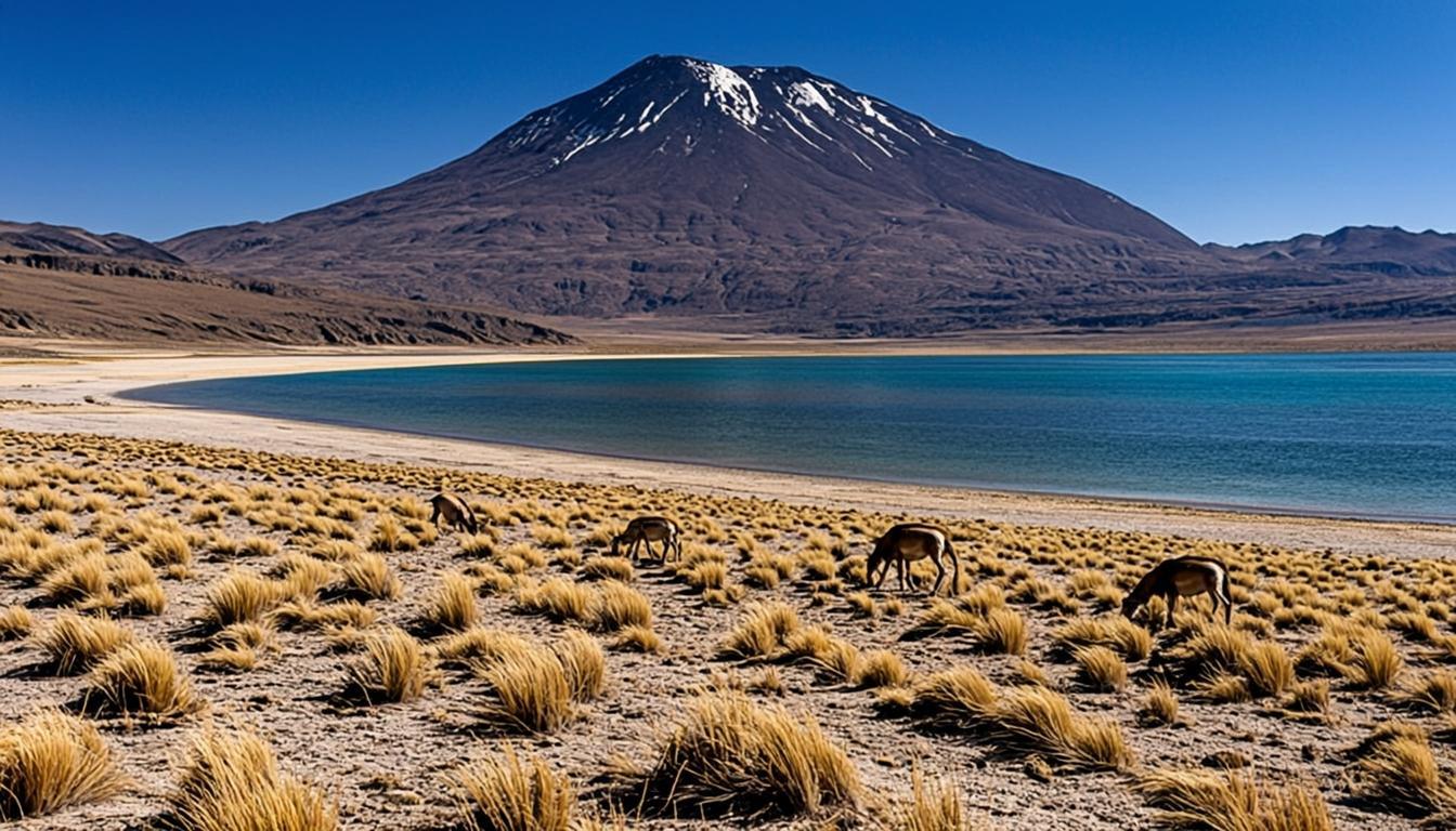
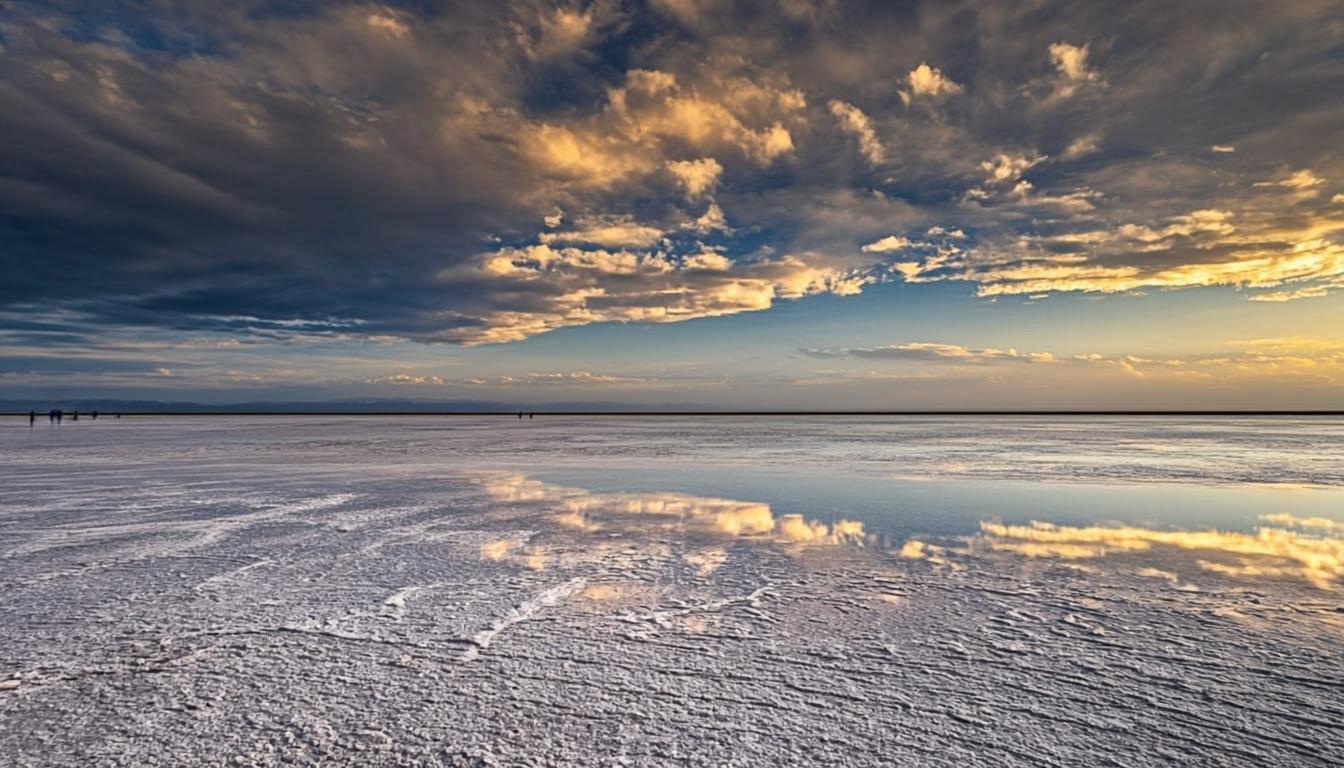
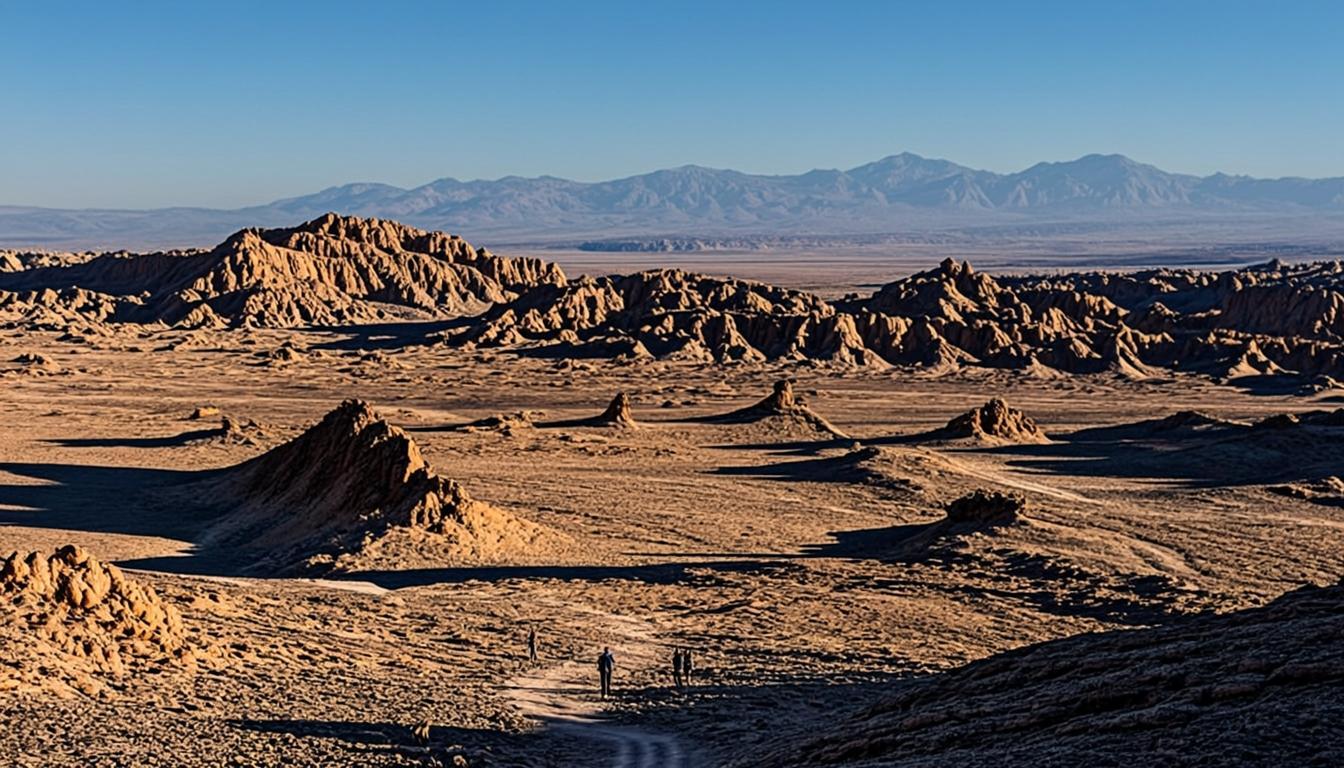
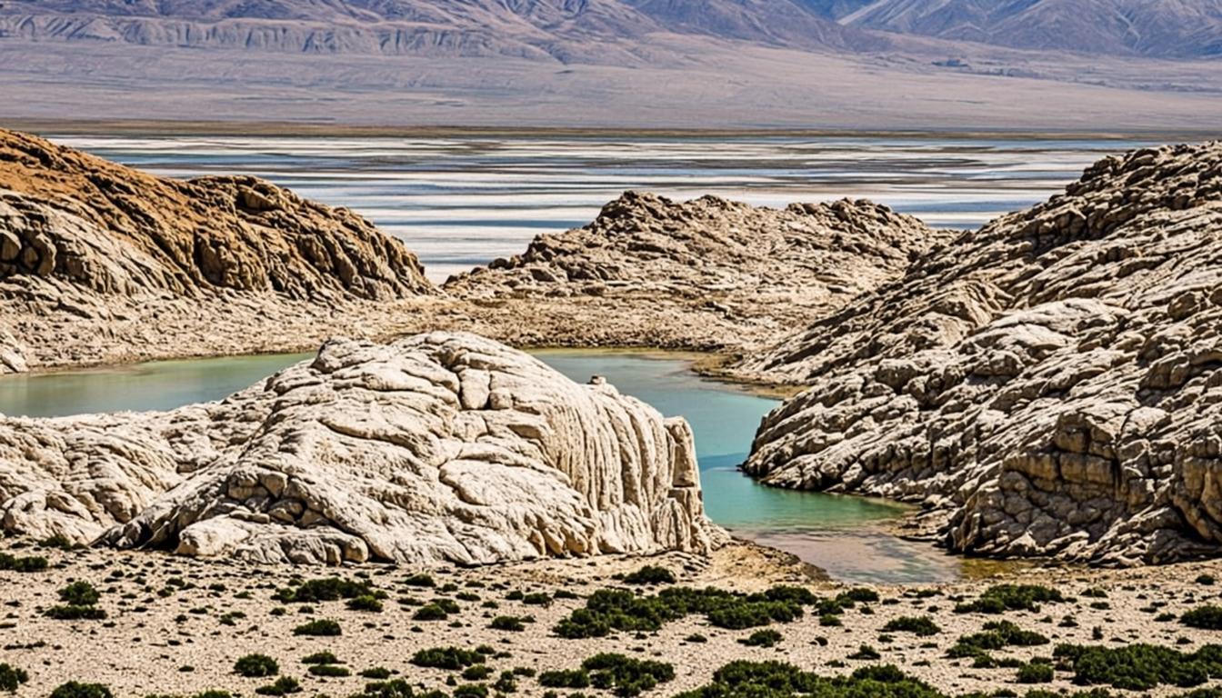
Salar de Tara lies against the Bolivian border, a wind-sculpted basin at 4,300-4,800 m: the Monjes de la Pacana are freestanding stone towers rising from white salt, the Catedral de Tara is a wall of eroded tuff that reads like gothic architecture, and vegas shelter vicuñas, flamingos and the ostrich-like ñandú. It is the region's frontier landscape — closer in spirit to Uyuni country than to San Pedro.
Access is controlled: Tara sits in a protected area where entry runs through authorized operators with community agreements, so there is no casual drive-in. The reward is solitude — you share the sentinels with a handful of vans, not a queue. Operators typically pair it with the Aguas Calientes river bend and the Pacana overlooks inside a single full-day itinerary; confirm you have budgeted enough days with the trip-length guide.
Why go
Monjes de la Pacana: stone towers up to 30 m tall standing in open salt desert.
The emptiest landscape within day-trip range — Tara feels like the end of the map.
Serious wildlife: vicuña herds, ñandús, Andean foxes and high-Andean flamingos.
The perfect scouting day if you are weighing the multi-day Uyuni crossing.
Visiting Salar de Tara
How to get there
The route runs northeast via the Paso Jama road, then cuts onto 4x4 tracks across passes above 4,400 m; around 115 km but two to three hours of driving. Independent access is not permitted through the protected sectors, so the format is a full-day small-group 4x4 tour with permits, driver-guide and food included. Pickups start 07:00-08:00; operators publish current rules on their price lists.
When to go & what to expect
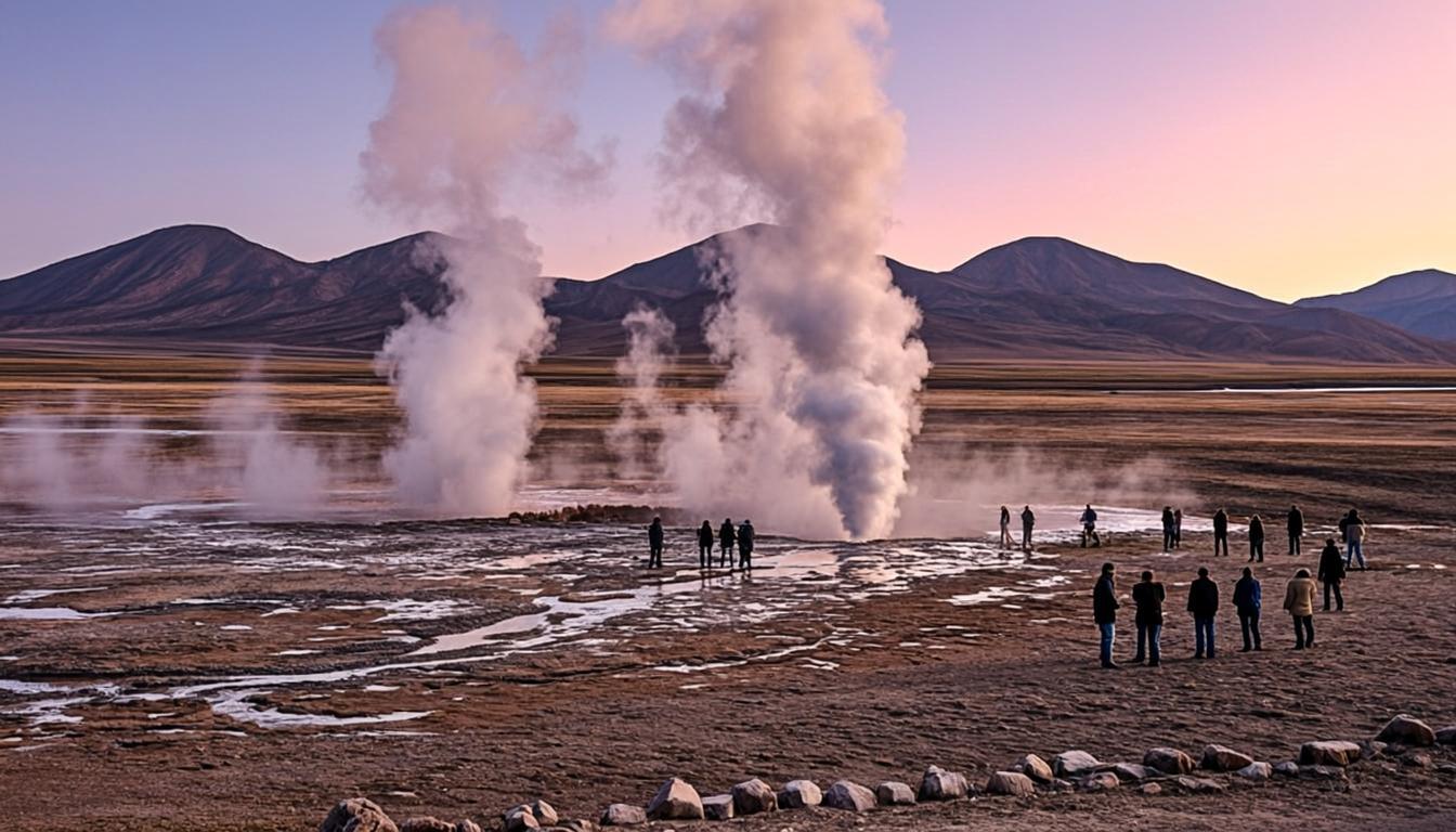
Days are long: eight to ten hours with 200-plus km of gravel, midday at the main formations, and stops that never exceed an hour of gentle walking. Cold wind at 4,700 m makes standing still the hardest part — layers matter more than at El Tatio because you are out all day. Summer afternoons bring storm cells; winter is crisp but bitter.
Rules & practical tips
Tara's sectors are community-protected: follow your guide's marked routes, do not climb the monjes, no drones, and pack out every wrapper. There are no services of any kind — toilets are improvised stops and water is what you carry, two to three liters per person. Book only operators advertising Tara explicitly with permits; generic salar loops do not reach it. Acclimatize three days minimum — the altitude guide explains why.
Tara is a third-day trip, not a first-day one: earn it with two acclimatized days, then let the emptiness do its work.
Common mistakes (and how to avoid them)
Tara is the day trip where preparation gaps show up at 4,700 m with no services for hours. Every mistake below has cost someone their comfort — or their day — because the basin gives no second chances.
Assuming any car can go: the Tara sector is reserve-protected with checkpoints, and rental cars without operator permits get turned back. The only legal format is a full-day 4x4 tour with an authorized community operator.
Booking it for your first or second day: the basin runs 4,300-4,800 m, a third-day trip at the earliest — the kind of schedule a five-day itinerary makes comfortable.
Packing for a photo stop: ten hours of wind at altitude make standing still the hardest work of the day. Full layers, gloves, sunglasses and 2-3 liters of water per person.
Buying on price alone: some "Tara" listings skip the Monjes or the Catedral to cut fuel costs. Confirm the actual stop list and permit status before paying.
Tara rewards preparation, not improvisation: verified permits, three acclimatized days, and a bag packed for a day without a single service.
Salar de Tara on the map — and the services around it
The orange pin marks Salar de Tara (115 km from San Pedro, about 2 h 10 min by van). Every other marker is a real service — and every marker has its own page: tap a place to open it, or add it straight to My Atacama Map. Useful if you are self-guiding or planning a stop on the way back to town.
- Landmarks & ruins
- Health & pharmacy
- Carabineros (police)
- ATMs & exchange
- Fuel station
- Transport
- Tourist info & CONAF
Positions are approximate and meant for orientation — follow the official park signs on site.
Services, food & stays nearby — open a place, add it to your map
The 10 closest places to Salar de Tara, sorted by distance: tap a name to open its own page, or pin it straight to My Atacama Map without leaving this one.
Distances are straight-line — real driving distance can be longer.
Frequently asked questions
Sources & verification
The official references we used while researching Salar de Tara: park rules, fees, safety and transport. Everything on this page is written independently — no operator pays for coverage here.
- CONAF — entry permits and authorized-operator rules for the Tara sector of Reserva Nacional Los Flamencos
- SERNATUR — official information on the Salar de Tara route and the Monjes de la Pacana
- Carabineros — road control and checkpoint context for Ruta 23 and the border-zone roads en route
External links open in a new tab and lead to official Spanish-language pages. Fees and access rules can change seasonally — confirm on site or by phone before you travel.